Adriaan van Niekerk
What exactly is remote sensing?
In laymen's terms, remote sensing (RS) is the process whereby information of an object, or many objects, is collected from afar, i.e....
 |  |  |
|---|---|---|
 |
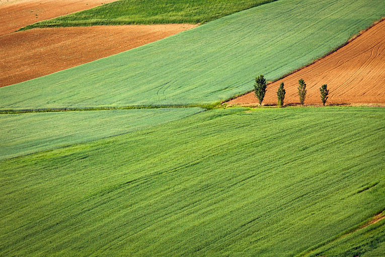
The use of satellite and drone imagery is taking off in a big way, especially in the agricultural sector. In this blog, I attempt to demystify some of the technical (sales) jargon and provide some practical examples that demonstrate the value of remote sensing and other geospatial technologies in agriculture and related industries.
In laymen's terms, remote sensing (RS) is the process whereby information of an object, or many objects, is collected from afar, i.e....